1
2
3
4
5
6
7
8
9
......
River Turia
River Júcar
Mediterranean Sea
marshlands
natural channel of the Albufera
salt marshes
salt water lagoon
fresh water lagoon
ricefields
boundary of l'Albufera Park
Rice cultivation in the
Albufera - a short history
Rice cultivation in the Albufera near Valencia is a theme that falls under the broader theme "cultural landscapes". In this broader theme, I show, through photos and text, what people do with the landscape they live in and its effects on the landscape. The consequences of human activity in the landscape do not necessarily have to be negative or positive on the landscape in question. The documentaries are meant to be recordings, telling and showing what happens and how something functions.
The Albufera is an area located between the mouth of the river Túria, directly south of Valencia, and the mountain range of Cullera. The natural park consists of a freshwater basin, wetlands, mostly rice fields, north and south of the basin, and along it, on the east side, a strip of land with dunes, forest and marshes, separating the lake and wetlands from the Mediterranean Sea. The Albufera, which is Valencian for lagoon, is named after the freshwater lagoon in the centre of the area. The name Albufera was given by the Moors and comes from the Arabic word al-buharya, meaning "small sea". The lake is the largest freshwater basin in Spain.
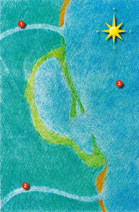
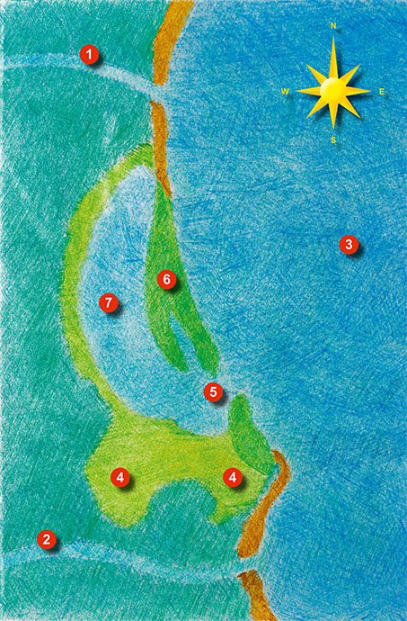
The lagoon originated about 6,000 years ago and is separated from the Mediterranean Sea by a long stretch of dunes, forest and sandy beach. Until the 17th century, it was connected to the Mediterranean and filled with salt water. Through the deposition of sediments, from the rivers Xúquer, Túria and several streams, the inland lake shrank over the centuries and turned into marshland. In the Middle Ages, this marshland began to be used for growing rice. Rice cultivation has an important influence on the ecological system in the Albufera. The landscape changes greatly seasonally, determining how people, plants and animals use this area. In autumn and winter, the rice fields are largely under water, in spring the rice fields are dry without plants or vegetated with native plants, and in summer time the rice fields are overgrown with rice plants.
King James I became the owner of the Albufera, including the lake, from 1238 and prepared it as royal heritage. He started using the water wells, handed out privileges and regulated fishing. In 1761, King Charles III declared the Albufera and its surroundings a protected area and set standards for the use of the Albufera with the aim of preserving the area's wealth of flora and fauna.
In the eighteenth century, the fishing community of the municipality of Valencia created the fishing institutions of Silla, Catarroja and El Palmar, which still exist today and define and organise the management of fishing in the Albufera.
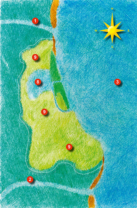
In 1865, the Spanish royal house gave the ownership rights of Park Albufera to the Spanish state and in 1927 the park was bought by the Valencia City Council. To enable the construction of a parador (luxury state hotel) and a golf course, Valencia City Council transferred Park Albufera to the Ministry of Information and Tourism in 1962. Plans were ready for a large-scale urbanised area in the dune area near El Saler (Devesa El Saler) with residential towers, an airport, sports and education centres and luxury hotels. Such extensive development would largely destroy the ecological system of the Albufera. In 1968, construction began on residential towers, the golf course and few hotels, which are still present. When large parts of the population realised that a unique natural area would be lost, a large protest was started and most of the building plans were not implemented and large parts of nature were restored.
The first democratically elected municipal council after the Franco era declared the dunes and the Albufera a public area for the population. In the year 1993, the area was finally declared a protected natural park.
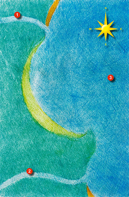
The formation of l'Albufera de Valencia: 10.000 years ago
The formation of l'Albufera de Valencia: 6000 years ago
The formation of l'Albufera de Valencia: 1300 - 1800
The formation of l'Albufera de Valencia: 1900 - present
1 - 4
<
>
The cycle of rice cultivation runs throughout the year and I have divided it into four parts:
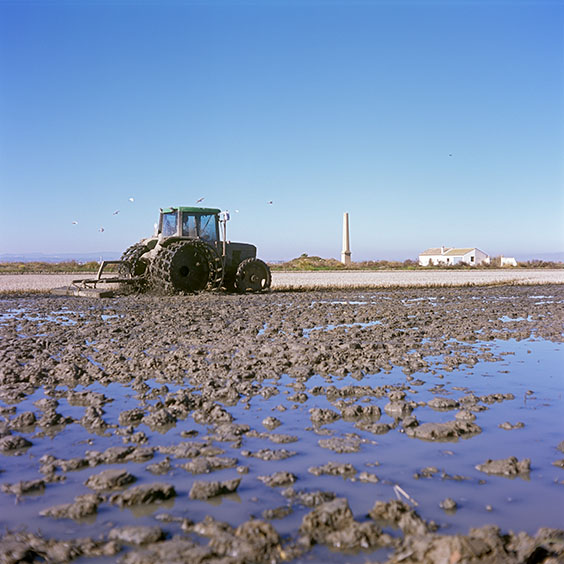
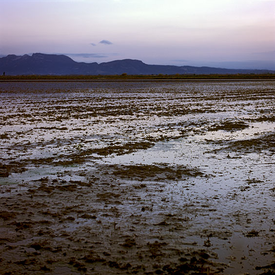
The winter period from November to February: most paddy fields are flooded or saturated with water. The soil is churned up, mixing the plant residues of the past harvest with the soil.
Spring from March to May: during this period, the soil is dry and ploughed and levelled. Then the paddy fields are filled with water and rice is sown.
The summer period from May to September: weeds are removed and young rice plants are planted in empty places where no rice plants have grown from the seed.
The harvest period from September to October: the rice grains are ripe and the rice is harvested using combine harvesters.
In the photo series below, I show pictures from all four periods. Not only of the rice fields, but also of the coast, the lake and the dune areas in the Albufera. Because the photos in the summer period have not yet been taken and the photos that have been made are not all ready yet for presentation, photos will still be added in the photo series.
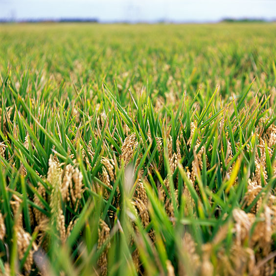
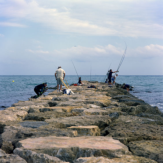
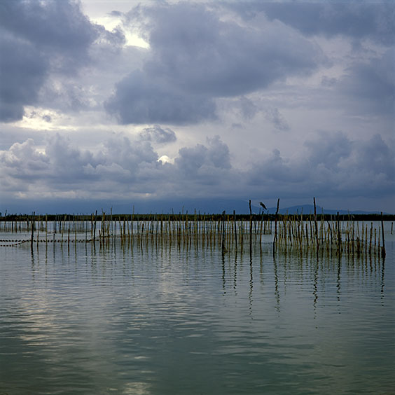
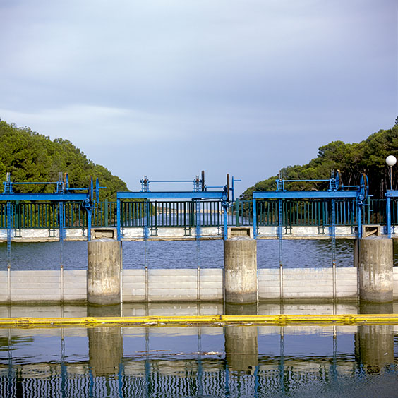
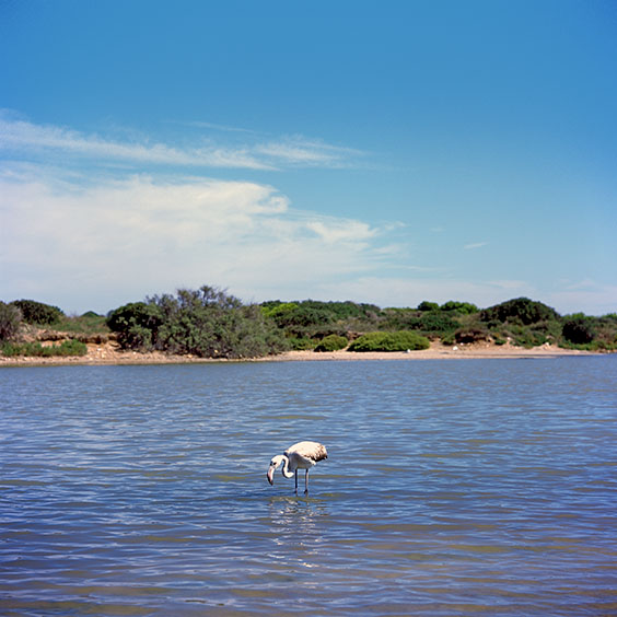
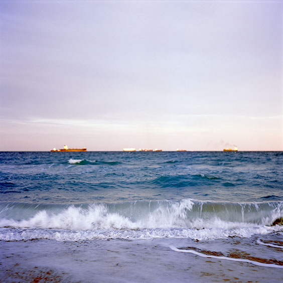
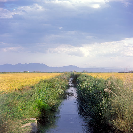
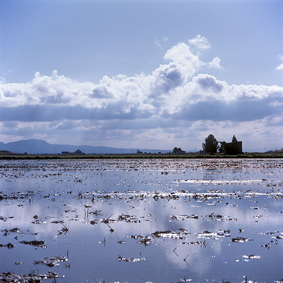
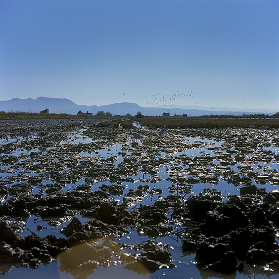
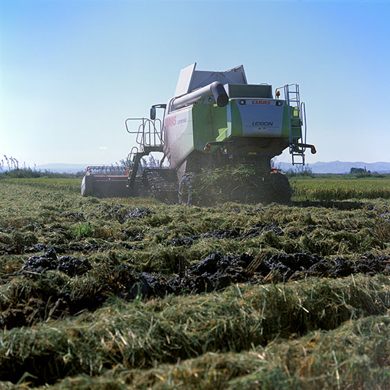
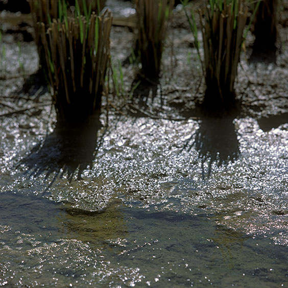
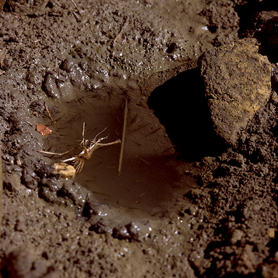
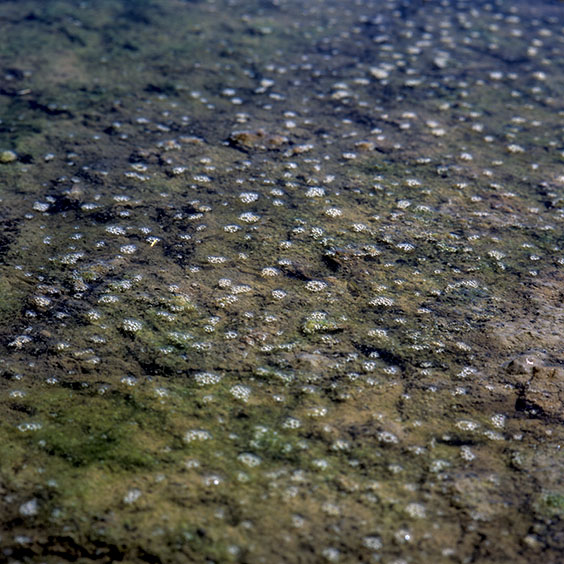
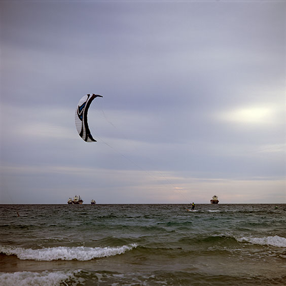
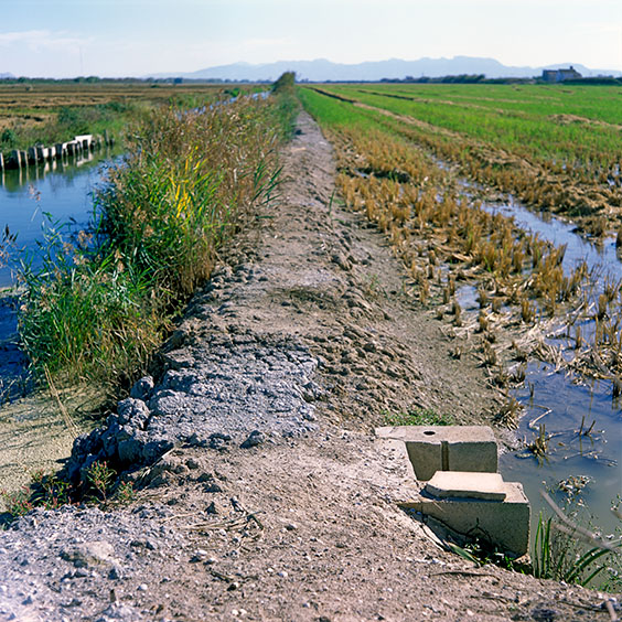
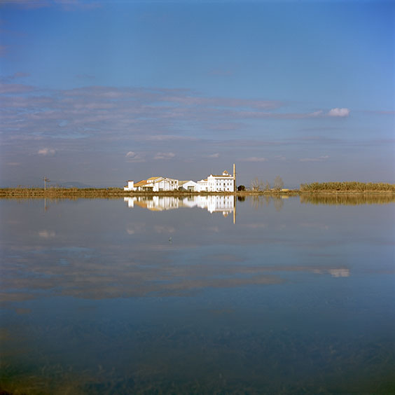
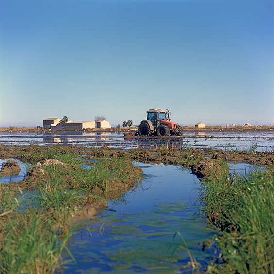
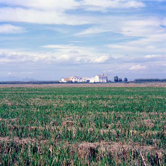
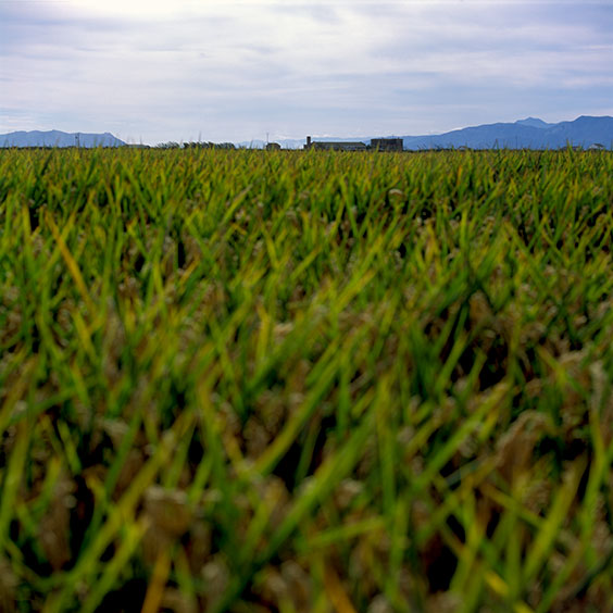
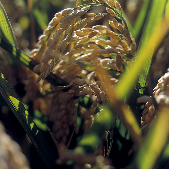
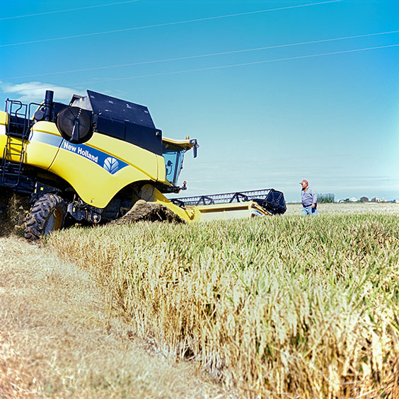
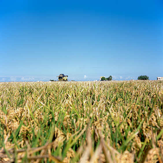
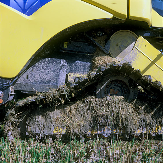
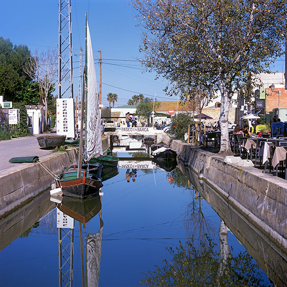
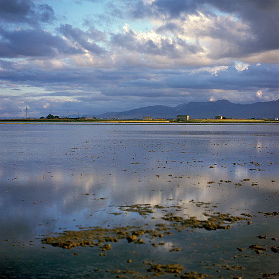
El Tremolar, 1 October 2014
The rice is ripe and can be harvested any time. El Tremolar is a suburb south of Valencia. Where cultivated land ends, rice fields begin. There is little or no transition area, consisting of a green strip, between built-up and agricultural areas. This is the case of all villages in and around the Albufera.
Pinedo beach, 2 October 2014.
Pinedo is a district of Valencia located south of the new mouth of the Turia river. The district is surrounded by the sea, the Turia river, orchards and rice fields. In the picture, Sport fishermen use a breakwater to fish further into the Mediterranean Sea.
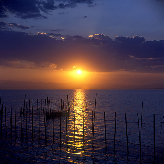
Lake Albufera, 2 October 2014.
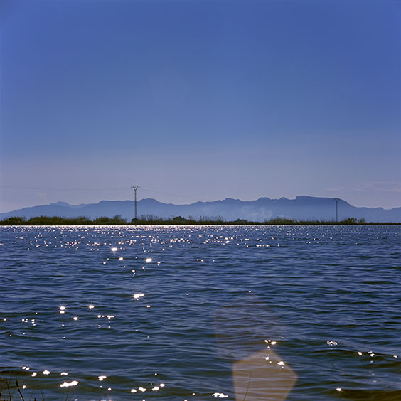
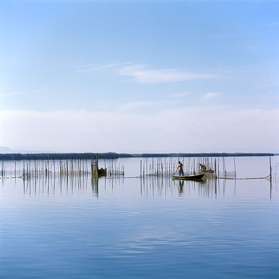
Lake Albufera is the largest freshwater basin in Spain.
This photo is available as a high-quality print in the ohoh.store.
Albufera Natural Park, 11 October 2014.
Locks in the canal connecting Lake Albufera and the Mediterranean Sea.
Llac del Pujol in Albufera Natural Park, 24 September 2015.
El Saler Beach in Albufera Natural Park, 23 September 2015.
This photo is available as a high-quality print in the ohoh.store.
Albufera Natural Park, 1 October 2015.
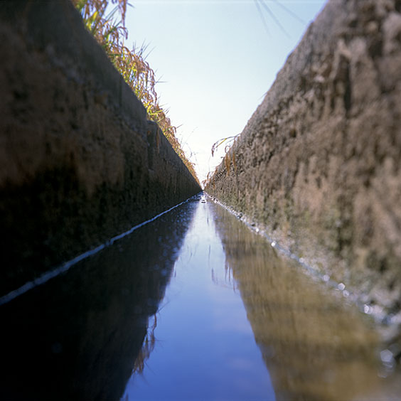
An irrigation canal between two rice fields.
Albufera Natural Park, 26 Januar 2022.
Flooded rice field in wintertime.
Albufera Natural Park, 30 Januar 2022.
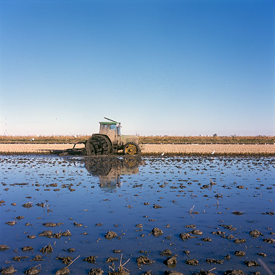
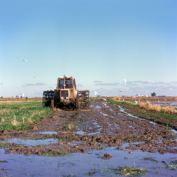
The remaining residues of the rice plants are mixed with the topsoil of the rice field using a tractor whose wheels do not have inflatable tyres, but consist of metal cage-like cylinders. These metal cylinders not only give the tractor grip in the soft wet soil, but grind the crop residues with the top layer of soil.
Albufera Natural Park, 27 Januar 2022.
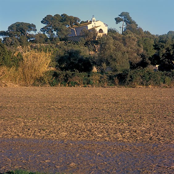
La Muntanyeta dels Sants is a 27-metre-high limestone relief in the southern part of the Albufera, not far from Sueca. It offers stunning views over the surrounding rice fields. A chapel has been built at the top in honour of Saints Abdón and Senén. These are the patron saints of farmers and protectors of the harvest. The first chapel was built in the 14th century. The second and current chapel was built on the foundations of the first chapel between 1611 and 1613. Next to the chapel is a former residence for hermits. At the foot of the rock, a recreation area with tables, benches and barbecues is open to the public.
Albufera Natural Park, 27 Januar 2022.
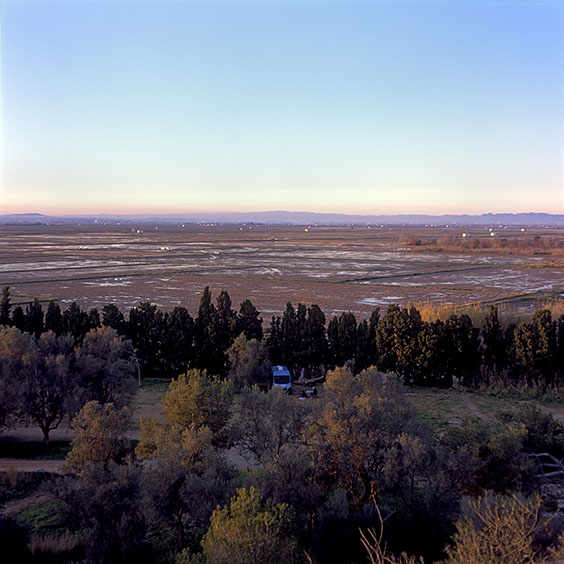
The view towards the north-west from the top of La Muntanyeta dels Sants.
Albufera Natural Park, 7 October 2014.
This photo is available as a high-quality print in the ohoh.store.
Albufera Natural Park, 29 Januar 2022.
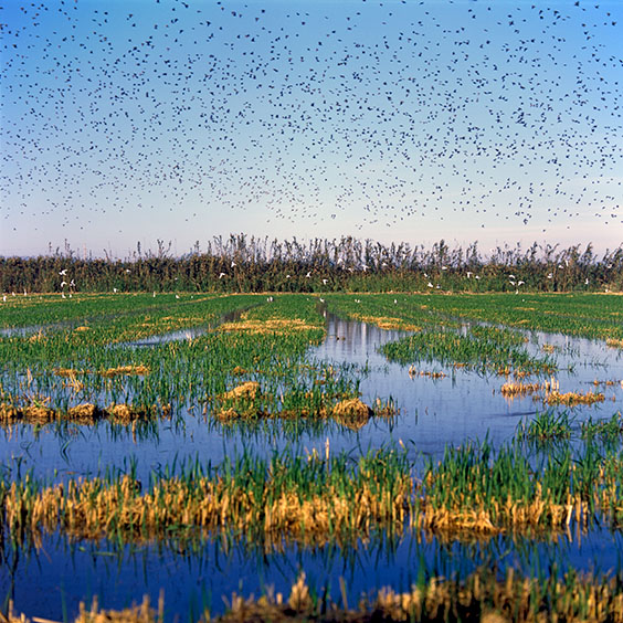
White Herons and other birds search for food in the rice field while stirring up the soil.
Albufera Natural Park, 7 October 2014.
Harvesting the rice with a combine harvester.
Albufera Natural Park, 7 October 2014.
Albufera Natural Park, 7 October 2014.
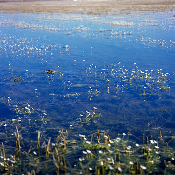
Tiny fish swim in a pool of water in the middle of a rice field.
Albufera Natural Park, 7 October 2014.
El Saler Beach in Albufera Natural Park, 11 October 2014.
Albufera Natural Park, 8 October 2014.
A concrete trench provides a connection between the irrigation canal and the paddy field, allowing water to flow from the canal into the paddy field when needed. A wooden baffle allows the trench to be closed off.
Albufera Natural Park, 26 Januar 2022.
Albufera Natural Park, 28 Januar 2022.
A machine, hanging behind the tractor, mixes remnants of rice plants with the top layer of the soil. This creates a fertile and homogeneous top layer in the soil of the rice field.
Albufera Natural Park, 10 October 2014.
This photo is available as a high-quality print in the ohoh.store.
Albufera Natural Park, 29 Januar 2022.
The remaining residues of the rice plants are mixed with the topsoil of the rice field using a tractor whose wheels do not have inflatable tyres, but consist of metal cage-like cylinders. These metal cylinders not only give the tractor grip in the soft wet soil, but grind the crop residues with the top layer of soil.
Albufera Natural Park, 11 October 2014.
Albufera Natural Park, 24 September 2015.
Albufera Natural Park, 30 September 2015.
Albufera Natural Park, 30 September 2015.
Albufera Natural Park, 30 September 2015.
Albufera Natural Park, 8 October 2014.
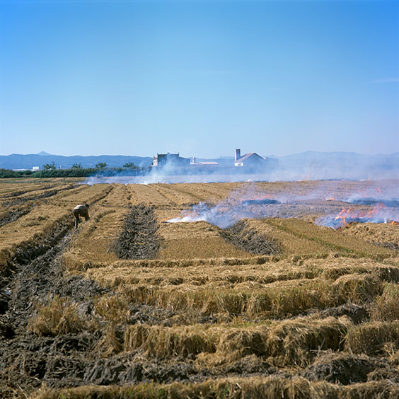
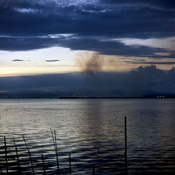
The chaff of the rice plants, which is left in the rice field after harvesting, is burnt. The burnt plant residues give the soil new nutrients.
Albufera Natural Park, 10 October 2014.
Albufera Natural Park, 27 Januar 2022.
Albufera Natural Park, 28 Januar 2022.
Albufera Natural Park, 30 September 2015.
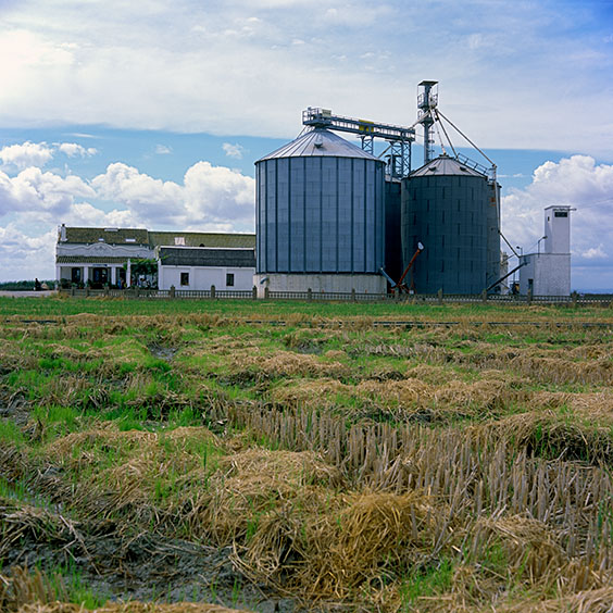
Farm Estell nearby El Palmar , 28 September 2015.
Albufera Natural Park, 28 September 2015.
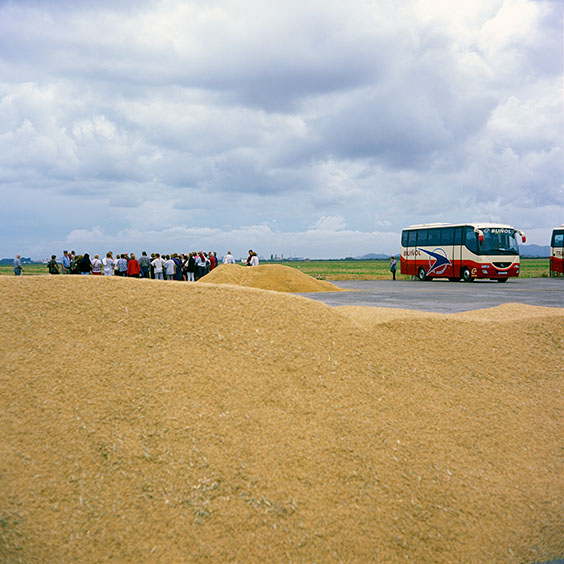
A group of Visitors are given a tour at Farm Estell by employees of the rice production company Tartara Rice.
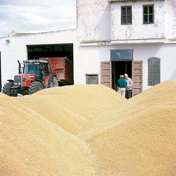
Farm Estell nearby El Palmar, 28 September 2015.
Harvested rice lies drying on the farm yard.
El Palmar, 31 Januar 2022.
The freshwater lake in Albufera Natural Park, 10 October 2014.
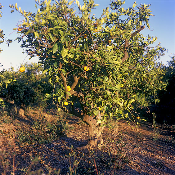
An orange tree in an orchard in Albufera Natural Park, 28 Januar 2022.
Albufera Natural Park, 25 Januar 2022.
Albufera Natural Park, 26 Januar 2022
Albufera Natural Park, 26 Januar 2022.
The remaining residues of the rice plants are mixed with the topsoil of the rice field using a tractor whose wheels do not have inflatable tyres, but consist of metal cage-like cylinders. These metal cylinders not only give the tractor grip in the soft wet soil, but grind the crop residues with the top layer of soil.
White Herons and other birds search for food in the rice field while stirring up the soil.
Albufera Natural Park, 31 Januar 2022.
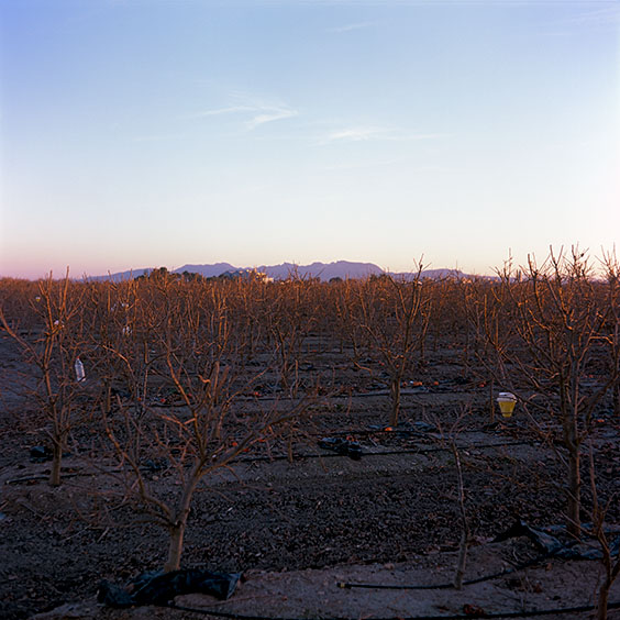
An orchard with khaki fruit trees. In the background is the village of Sollana.
1 - 44
<
>